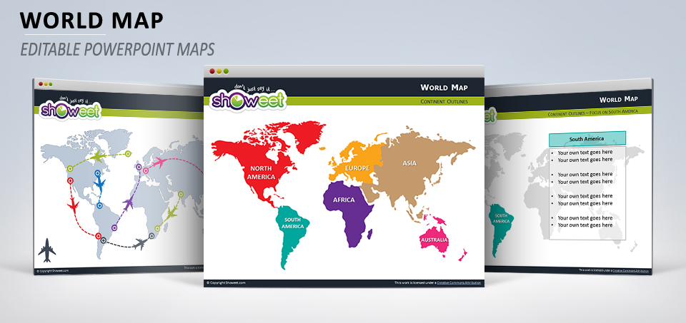
Free editable (vector) world map with outline continents (North America, South America, Europe, Africa, Asia, Australia) for your PowerPoint presentations. Contains 13 pre-designed slides.
Editable = you can easily edit each continent (or the whole world outlines) to add your own color and special effects or to resize it to fit your PowerPoint presentation.
Presentation Package includes:
- 13 slides with editable vector maps
- Premium-quality customizable maps (can be resized or colored)
- Format available: PowerPoint 2007-2013 (.PPTX)
- Licence: Attribution-NoDerivs 3.0 Unported (CC BY-ND 3.0)


its usefull.
Yes it’s very useful as i’m doing a presentation for my company and would like to indicate the country territories under our sales distribution. Thank you.
You have forgotten the Black Sea!
Also Europe does not go down all the way to Aisan part of Turkey, Kurdistan etc. That is all part of Aisa geographically.
Othewise very useful and nice maps.
Thank you very much ! So useful !
Do you have country wise color-able & measurable world map?
Say I can give country wise % or number or some fact, that i load via a table & it shows up on the map.
If available in paid version.. pl. let me know the link. I’ll check the template & pick it up.
BR _Nagen
Hey Nagen, sorry but no, we don’t have that…
Thanks for the maps but you forgot to locate the Black Sea